dsh-geodesy
Run the following command in DeepSeek Harness:
dsh plugin install TYEclipse/dsh-geodesy
Paste the following prompt into your AI chat to install this plugin:
Install this plugin in DeepSeek Harness by running dsh plugin install TYEclipse/dsh-geodesy; the source repository is available at https://github.com/TYEclipse/dsh-geodesy .
About this plugin
LLMs are impressive at reasoning and code, but they are remarkably bad at spherical geometry: swapping latitude and longitude, conflating degrees with radians, forgetting the Earth radius, treating a spherical polygon as a flat triangle. These mistakes slip silently into final answers. dsh-geodesy takes a straightforward approach — move the math out of the model's head and into a set of deterministic, pure-computation tools so the LLM only handles intent and invocation.
The plugin ships seven tools covering the most common geodesic tasks: great-circle distance (haversine, with km/m/mi/nmi output plus initial and final bearings and a 16-wind compass point), bearings and great-circle midpoint, the direct geodesic problem (start + bearing + distance → destination, with a round-trip check), coordinate-string parsing (decimal, DMS, suffixed pairs, axis hints — invalid input returns a reason, never a silent guess), rhumb-line (loxodrome) distance and bearing with a great-circle comparison, the intersection of two great-circle paths (nearest crossing, antipodal crossing, and distances from both starts), and spherical polygon area and perimeter via Girard's spherical-excess theorem. All calculations use the IUGG mean Earth radius of 6371.0088 km, configurable to lunar or planetary radii via the radiusKm option.
There are zero runtime dependencies. The math is fully local, deterministic, and reproducible. Semantic edge cases are handled: polygon area always reports both the interior and its complement regardless of winding order; a great-circle intersection that lands on the reverse side of a path is annotated; a zero-length rhumb line returns bearing 0 instead of an error.
Ideal for developers, GIS analysts, and navigation or aviation professionals who need Earth-surface math in a conversational context, and for anyone who wants a model to compute correctly rather than merely sound convincing. In short: stop letting the model do spherical trigonometry by hand — let it call a tool.
Use Cases
- Compute great-circle distance between two cities with bearings and compass direction
- Parse DMS or decimal coordinate strings into standardized decimal degrees
- Find the intersection of two great-circle routes or compare rhumb-line vs. great-circle distance
- Calculate spherical polygon area and perimeter using Girard's theorem
Best For
- GIS and geospatial developers who need exact spherical geometry
- Aviation, maritime, and surveying professionals working with navigation math
- Builders of conversational AI apps who want to eliminate LLM spherical-math errors
Related Plugins

ModLens is a vision plugin for DeepSeek Harness that gives text-only models sight by reading images pasted directly into chat, with zero-config setup and multiple vision engines.
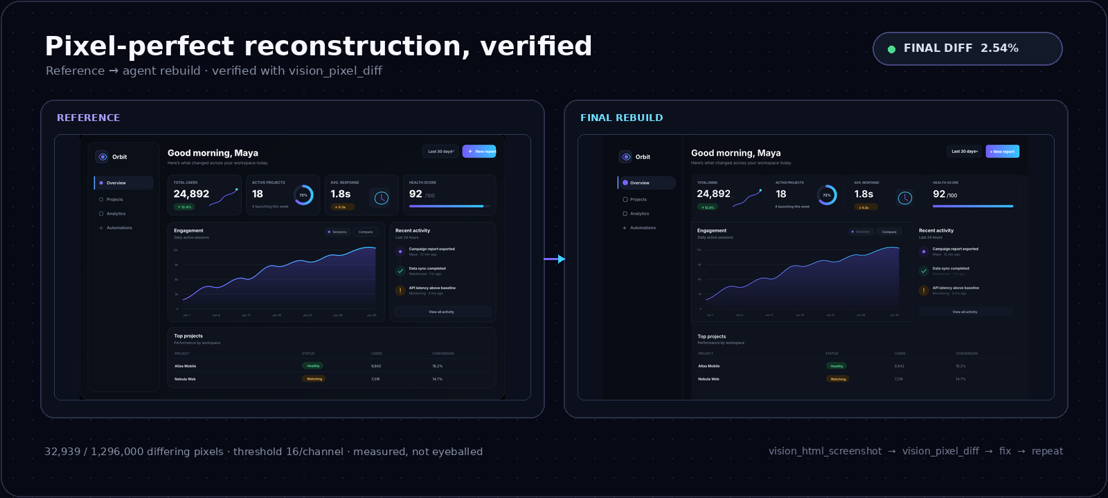
On-demand vision for text-only DeepSeek Harness agents: built-in free keyless vision chain and 14 vision tools, routing image turns as tool calls to vision models with pixel fidelity, no Python needed, one-command install.

Give text-only models in DeepSeek Harness eyes, enabling image Q&A, long-screenshot OCR, UI restoration, and GUI visual tasks.
An armor-breaking plugin for DeepSeek: rewrites instruction priority, expands refusal-blocked phrases, persists across sessions, and shows a green active indicator.